The expedition
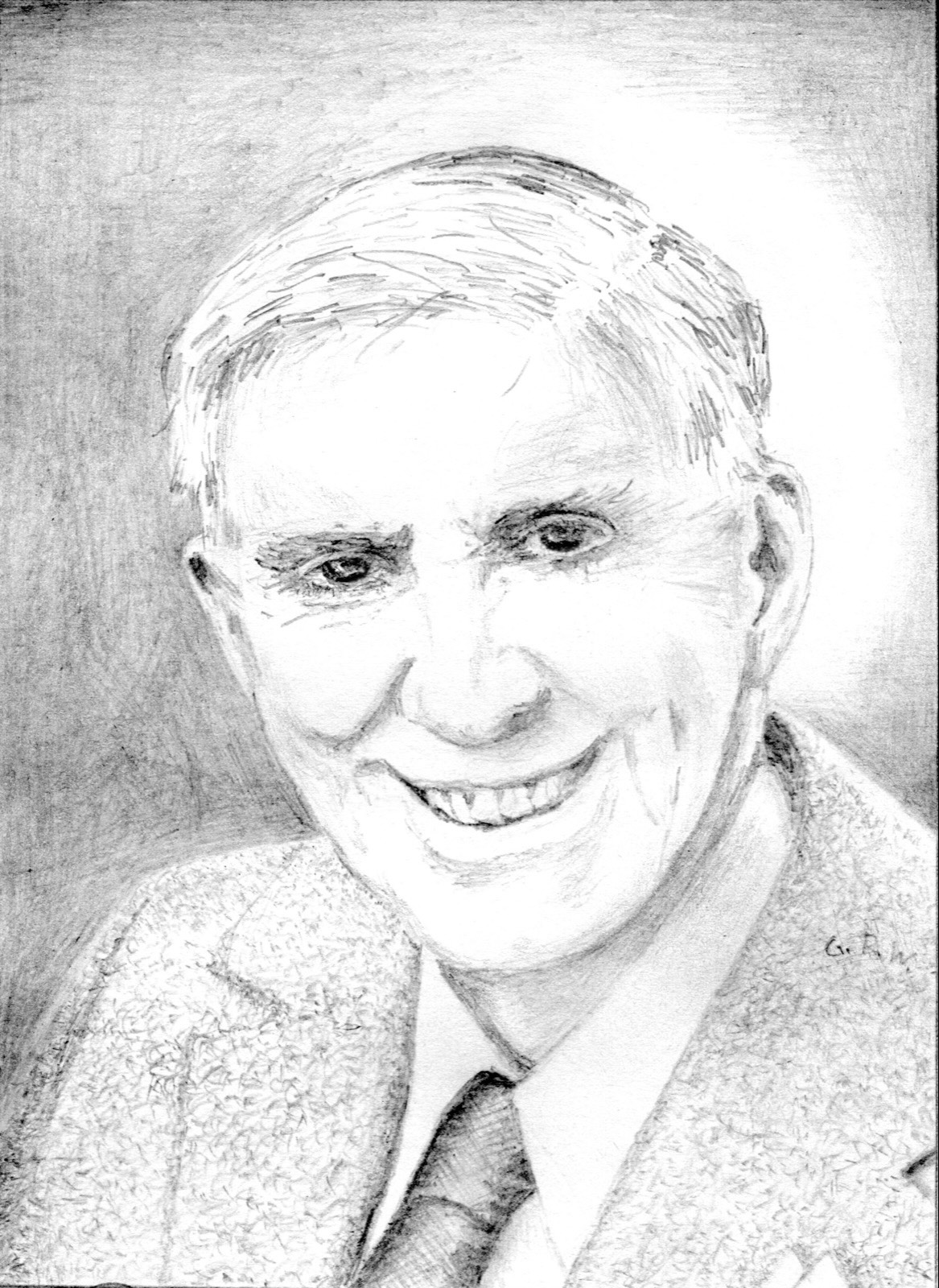
Len Beadell, born at West Pennant Hills in 1923, learned surveying and star sights as a Scout, served in army field survey units in New Guinea, and in 1947 joined the survey of the Anglo-Australian rocket range at Woomera. From 1950 he worked for the Long Range Weapons Establishment; he chose the Emu Field atomic test site in 1952 and in March 1953 built his first road, from Mabel Creek to Emu, then in 1955 the road from Maralinga to Emu. The Weapons Research Establishment now needed a road west from the Stuart Highway to the Rawlinson Ranges to site a weather station for upper-wind forecasts before the atomic tests, to carry instrumentation along the centre-line of fire of rockets launched from Woomera, and to open the country for the national geodetic survey. Beadell picked his team: Doug Stoneham on the D8 bulldozer, Scotty Boord on the grader, Bill Lloyd driving supplies, Rex Flatman as mechanic, Willy Appleton as 'cherry-picker' clearing sticks and stones by hand, and Paul Christensen as cook. In early November 1955 they rendezvoused near Coober Pedy, half from Adelaide with the bulldozer and half from Maralinga with the grader, a convoy of three trucks, two Land Rovers, the grader, the bulldozer and trailers, and moved to Victory Downs homestead, 24 km west of the Stuart Highway and just over the Northern Territory border.
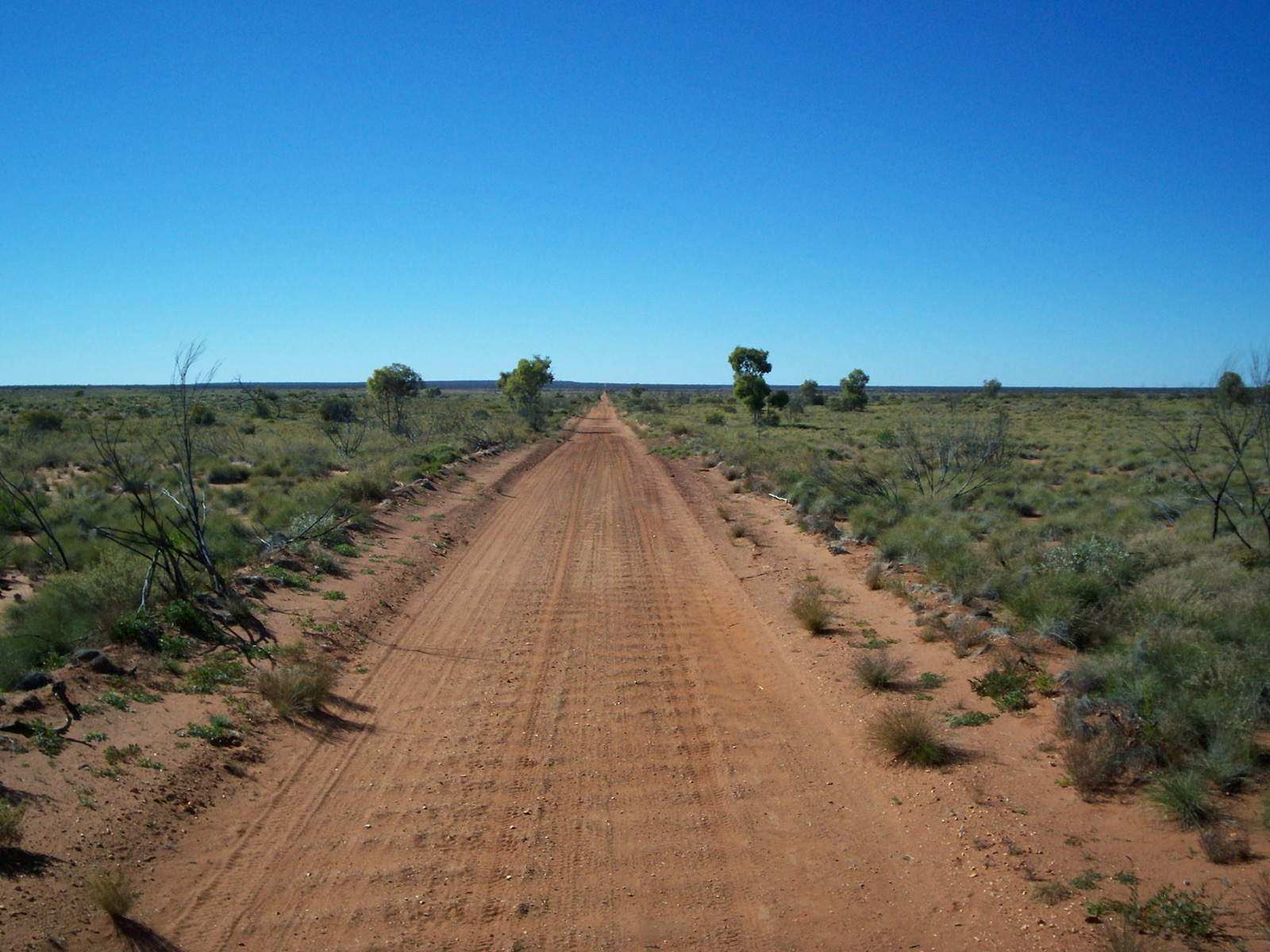
Beadell's method never changed. He drove ahead alone in his Land Rover through virgin scrub, steering by magnetic compass and measuring distance on the odometer, fixing his position by theodolite observations of the sun, moon and stars — his 'astrofixes', later stamped on aluminium plates and bolted to posts along the road. Having found a line, he came back and stood on the Land Rover's roof flashing sunlight from a mirror to guide the bulldozer, or fired flares where sandhills hid him; he joked that Stoneham followed the mirror for eight years and never caught it. The dozer knocked the scrub down with its blade raised, cleared it with the blade lowered, and widened the cut; the grader made up to five passes; the cherry-picker followed on foot. Driving round endless sand ridges and spinifex, with a corkscrew in his mind's eye and 'straight' the thing he wanted, Beadell hit on the word 'gunbarrel' and told the camp they were the Gunbarrel Road Construction Party.
Work began on 13 November 1955. Thirty-five kilometres out the grader's blade bolts snapped on a buried mulga root and Beadell drove to Alice Springs for parts; the road reached Mulga Park on 2 December, where the bulldozer's pilot motor failed and construction stopped for the year. Beadell went on with a ground reconnaissance and, on 7 December, an aerial survey from a natural airstrip near Mount Davies towards the Rawlinson Ranges, then led four Land Rovers to the site, where a stone cairn was built on 12 December and the place named Giles after Ernest Giles. His own Land Rover broke a rear axle on the way back; an axle was borrowed from one of the others, which was abandoned until the next year. The second stage, from February 1956, took the road through the Musgrave Ranges and by the Mann and Tomkinson ranges to Giles on 29 March; Surveyor Generals Corner was too rocky. A boring plant towed 800 km from the railhead by the grader found drinking water at the fourth attempt, the airstrip was laid out in April and May, and the party was called away in June to build the Mount Davies road. Nothing was added in 1957, though Beadell worked at Giles that year and was awarded the British Empire Medal.
The third stage opened with Beadell's solo reconnaissance from Giles to Warburton from 12 March 1958, the chapter he called 'An Unshared Nightmare': 40–45 °C, the engine overheating and fuel vaporising, the plastic of the instrument panel and radio melting, the nails loosening in his boots until the heels fell off; along the south of the Rawlinson Range towards Lake Christopher and down through the jumbled sand ridges of the eastern Gibson Desert with three punctures and his water almost gone, until a small pool in a creek run-off among rocky hills saved his life. He rested three days at the Warburton mission and returned another way. Construction from Giles began on 22 March, passing close to where Alfred Gibson was thought to have died, and reached Warburton in early May, where the party built the mission a new airstrip. For the last stage the reconnaissance from Jackie Junction, 69 km north of Warburton, to Carnegie was led by H. A. 'Bill' Johnson of National Mapping, he and Beadell each in a Land Rover with two more Land Rovers and a supply truck behind; between 14 and 28 May they found the mountain the Surveyor General of Western Australia named Mount Beadell. Construction restarted at Jackie Junction on 3 September, was abeam Mount Beadell on 25 September, passed Everard Junction about 15 October and reached Carnegie Station on 15 November 1958, three years after Victory Downs: 1,347 km of new road, the first link between outback east and west. In June 1957 Beadell had persuaded a Woomera dentist to teach him extractions; his first, on the cook Cyril Koch in March 1958, began a tally of 29 teeth.
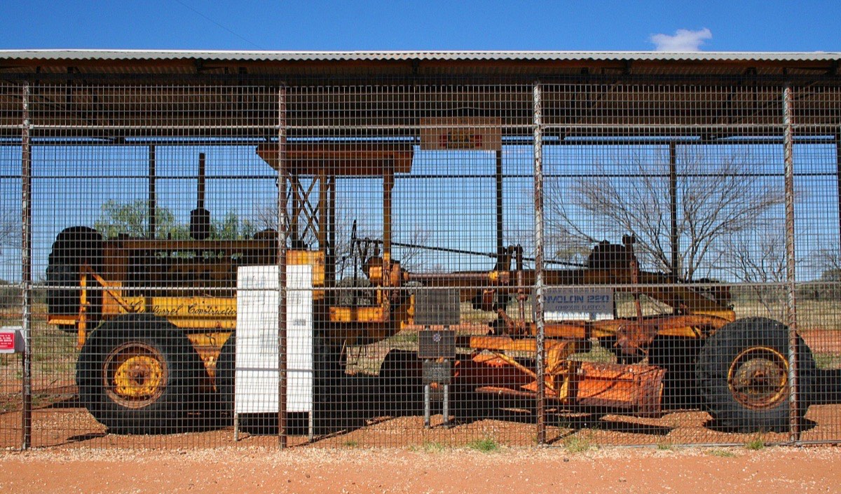
The party went on until December 1963, building more than 6,000 km of roads in twenty-four stages — the Mount Davies Road, the Sandy Blight Junction Road, the Gary Highway and Gary Junction Road, the Connie Sue and Anne Beadell highways named for his children and wife, the Talawana Track — and opening some 2.5 million square kilometres. Beadell told the Gunbarrel story in Too Long in the Bush (1965), the first of six books, and drove the retired Caterpillar No. 12 grader into its preservation cage at Giles in 1988; the D8 that cut the Gunbarrel was left at Carnegie and later bought by Dick Smith. No Land Rover from the party is documented as preserved in the sources fetched. Beadell received the OAM in 1988, was Australian Geographic's Adventurer of the Year in 1994 and died at Elizabeth Vale in 1995; his daughter Connie Beadell replaces his stolen and fire-damaged plates and runs tag-along tours over his roads, which survive as single-lane tracks popular with four-wheel-drivers, the Warburton–Warakurna section now bypassed by the Great Central Road.


.jpg)