The expedition
For its 150th anniversary the Royal Geographical Society chose the Karakoram of northern Pakistan, where the Indian and Asian plates collide at about six centimetres a year to make the most chaotic and unstable landscape on earth — high mountains, deep gorges, earthquakes, floods, glacier surges, mud-flows and rock-falls that its inhabitants live with daily. The International Karakoram Project was run in co-operation with Pakistan's Ministry of Science and Technology and Academia Sinica in Beijing, with Professor Keith Miller of the Department of Mechanical Engineering at Sheffield as leader, Nigel de N. Winser, the Society's deputy director, as field director, and Dr Andrew Goudie of Oxford as deputy leader and geomorphology director. Jonathan Walton of University College London directed survey, Ian Davis of Oxford Polytechnic and Robin Spence of Cambridge the housing and natural-hazards study, Drs Geoff King and James Jackson of Cambridge the seismology, and Dr Gordon Oswald of Sensonics the radio-echo ice sounding. Seventy-three members took part; the Chinese scientists were doing fieldwork outside their own country for the first time in many years, at a moment when neighbouring Afghanistan had just been invaded. An international conference in Pakistan, opened by President Zia-ul-Haq, preceded the fieldwork.
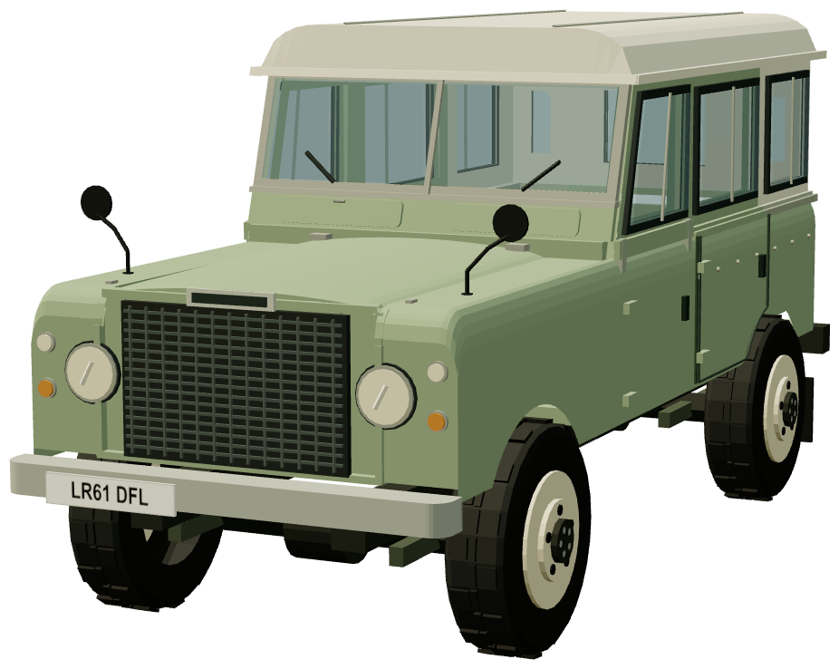
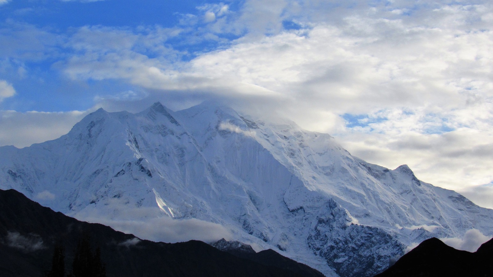
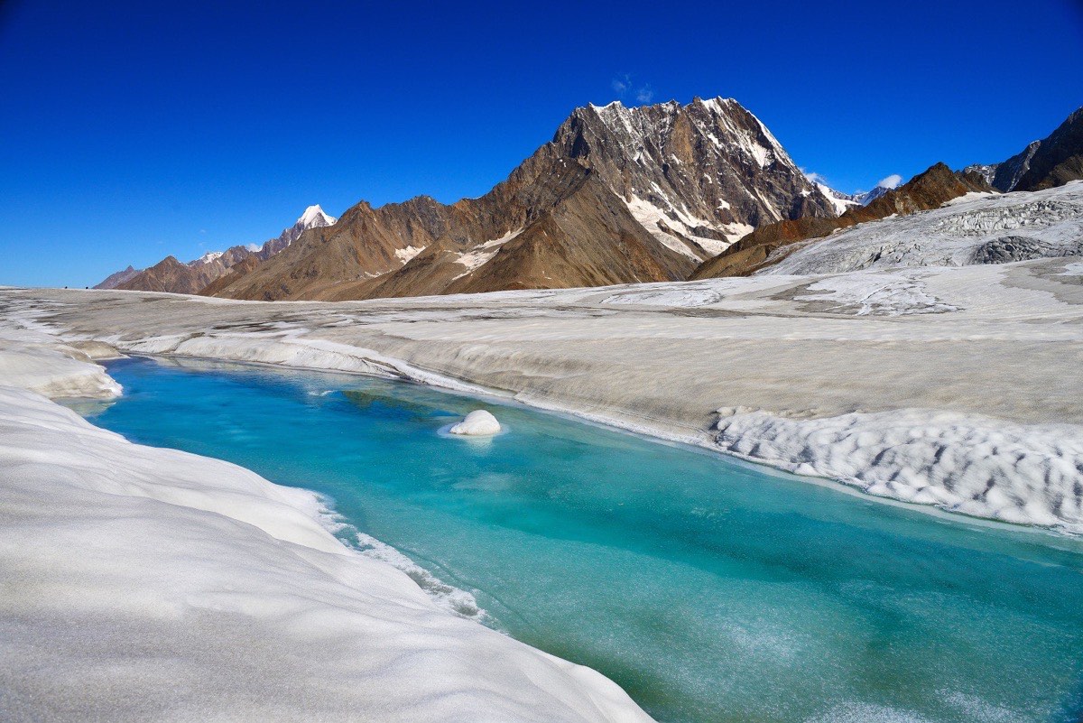
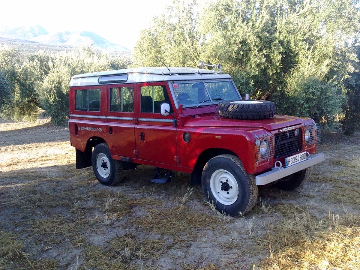
The expedition worked from June to September 1980 out of a campsite at Aliabad in the Hunza valley, under Rakaposhi, using new V8 Land Rovers — the Series III Stage 1 V8, then barely a year old — along the mountain tracks that lead off the recently completed Karakoram Highway. Permission was granted for previously closed country northward along the highway past the Batura glacier towards the Chinese border. The highway itself, perpetually under repair as rock-falls, mud-flows and glacier outwash floods blocked it, was a study object: Goudie's geomorphologists measured the rates and processes of land destruction, glacial fluctuation, rock weathering and the Hunza river's sediment load, among the greatest anywhere. The radio-echo team took the first precise ice surface-and-depth profiles in the Karakoram–Himalaya with impulse radar on the Hispar and Ghulkin glaciers, the latter a threat to the highway. The seismologists made the first micro-earthquake study of the Karakoram fault and Indus suture zone, 371 recordings showing shallow and intermediate quakes in contrast to the deep ones of China and the Hindu Kush.
The surveyors climbed to fifteen existing survey beacons, all above 4,000 metres, to re-measure part of the 1913 Indo-Russian triangulation and Kenneth Mason's surveys of fifty years earlier, using microwave distance measurement, geodetic theodolites and portable satellite receivers to look for crustal deformation. It was while placing one of these beacons that Jim Bishop fell to his death. The housing group examined how families in Hunza — around Baltit Fort at Karimabad among other places — perceived and coped with risk, finding that health, schooling and markets worried them more than the hazards; the fort itself was later restored and won UNESCO's Award of Excellence in 2004.
A second conference at the Society in London a year after the return, and the two volumes of proceedings edited by Miller and published by Cambridge University Press in 1984, carried more than seventy technical papers; Miller told the story in Continents in Collision (George Philip, with a foreword by Lord Hunt), and a Karakoram Research Cell was set up by Pakistan's University Grants Commission. Sponsors included the Royal Society, the British Council, the Overseas Development Administration, the Natural Environment Research Council, the National Geographic Society, George Wimpey, British Airways, the Science and Engineering Research Council, Land Rover Ltd, the Mount Everest Foundation and the Royal Institution of Chartered Surveyors. The project opened the northern Karakoram to scientists, trekkers and mountaineers, and Land Rover still counts the Stage 1 fleet among its historic expedition vehicles.