The expedition
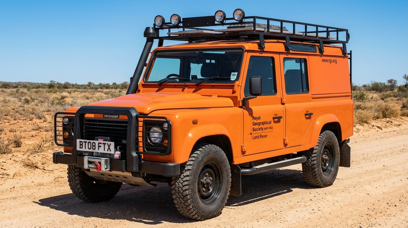
Atlantic Rising began as an idea by three Cambridge graduates with no expedition experience: Tim Bromfield, a geographer who had worked for Accenture and taught in London and Uganda; Will Lorimer, a social anthropologist turned documentary cameraman; and Lynn Morris, a Press Association video journalist with a Cambridge MA in social anthropology. Their plan was to trace the one-metre contour line — the shoreline the Atlantic could have by 2100 if sea levels rose as predicted — all the way round the ocean, and to record with photography, film, sound and writing the places, people and histories that would be lost, while building an educational network among secondary schools in low-lying coastal communities. In January 2009 the Royal Geographical Society (with IBG) gave them the Land Rover 'Go Beyond' bursary, which brought a grant and a Defender 110; they gave up their jobs, registered Atlantic Rising as a charity (no. 1129583) and had the journey's carbon offset through ClimateCare. The car was an orange Defender 110 XS station wagon registered in May 2008, BT08 BTX, which they named Beatrice.
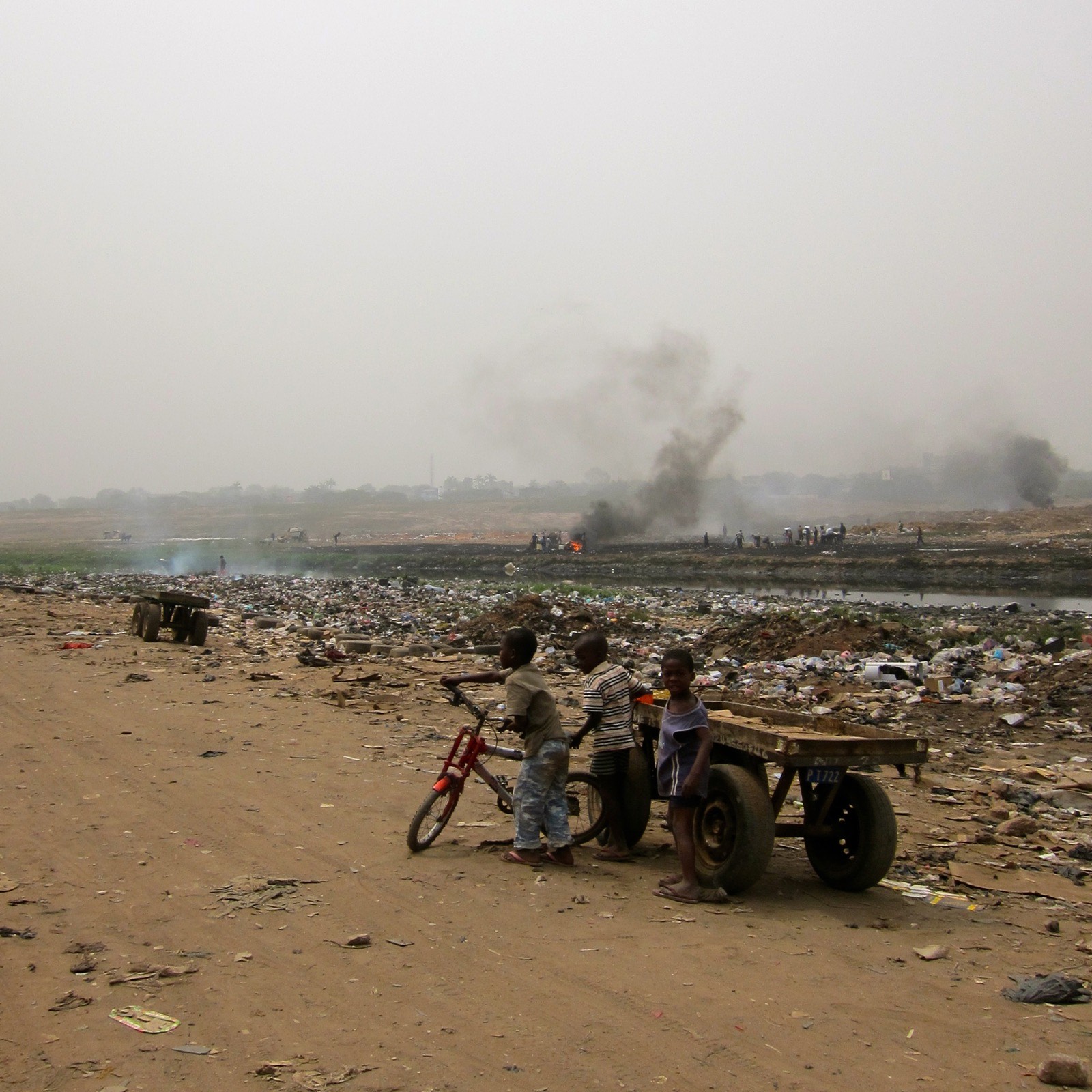
They set out from Britain on 1 September 2009 and spent the first night under canvas near Mont Saint-Michel, where the great tidal range was expected to worsen local sea-level rise and where a scheme to remove the causeway and let the sea flow round the mount again was beginning. By mid-September they were in Morocco, camped on the beach north of Tarfaya watching the Forces Auxiliaires patrol for migrant boats bound for the Canaries, then down through Western Sahara and Mauritania to Senegal in October, where they found a school swallowed by the sea and villagers planting mangroves. November was spent in the Gambia — rebuilt beaches, the slave-trade coast, the national clean-up day — and Guinea-Bissau, and December in Sierra Leone: a flooded slum in Freetown, sand extraction eating the beaches, and a piece from Will Lorimer on why the country would be 'screwed' at the Copenhagen climate conference. January 2010 took them through Liberia and its forests to Ghana, where they visited the unfinished Keta sea defences, the Agbogbloshie electronics dump in Accra and the salt-poisoned wells of the Western Region.
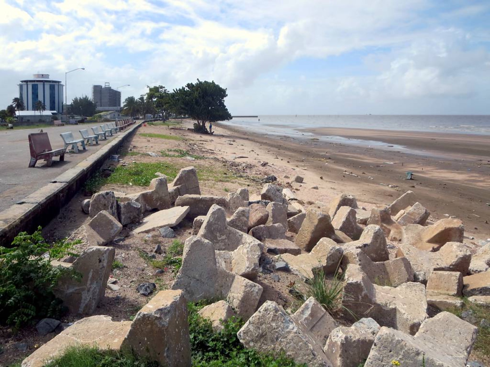
From West Africa the Land Rover crossed the South Atlantic on the container ship MV Safmarine Bayete, from whose deck the team dropped a tracked message-in-a-bottle buoy named Bernie for their schools to follow; it drifted for five weeks around the Equator before washing up near Fortaleza. In Brazil they went up the Amazon to the floodplain, where water buffalo were trampling the várzea and the Belo Monte dam was being planned, then along the Guianas coast to Georgetown, most of which lies below sea level behind Dutch-built dykes, and into Venezuela — the Warao of the Orinoco Delta finding salt in their river, and a climb of Mount Roraima in the July rains. Colombia and Mexico followed, and by September 2010 the team were in the United States: a coastal-communities conference on Nantucket, where Hurricane Earl had just taken a house at Madaket; the nutria-eaten marshes of Louisiana in October; Baltimore and New York in November. On the way home, Bernie the buoy was launched again into the mid-Atlantic from the deck of the MV Taiko, which carried the team and the Defender to Zeebrugge; they took the Eurostar to London on 3 December 2010 in the snow.
Fifteen months, 21 countries and 28,000 miles: Lynn Morris drove Beatrice back to Land Rover at Gaydon on 18 December 2010. The material became a schools resource for 12–15-year-olds on sea-level rise, coastal erosion, rainforests, ocean currents and the global food system, a blog series in The Ecologist, radio pieces for the BBC World Service, and the opening lecture of the RGS Explore weekend on 18 November 2011. The planned route had been more ambitious — 31 countries in ten months, from Tiree to Halifax by way of Central America — and the sources found do not say where in Africa and South America the ship legs began and ended.

.jpg)