The expedition
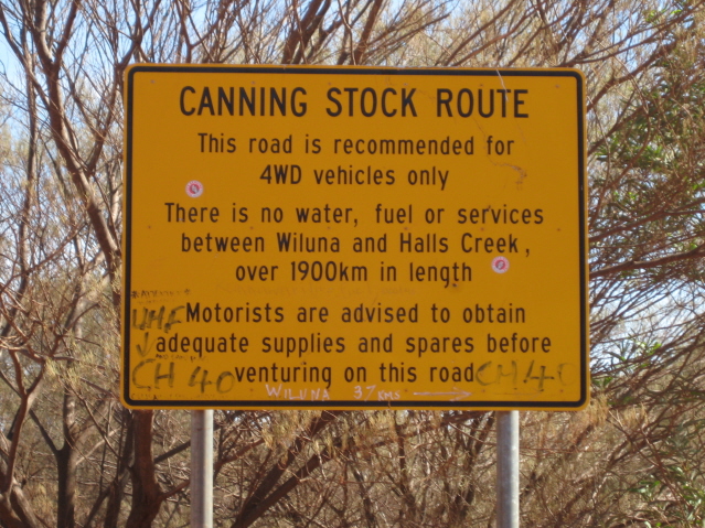
Alfred Canning surveyed the stock route from Wiluna to Halls Creek in 1906–07 and built its 52 wells in 1908–10 so that tick-infested Kimberley cattle could be walked south to the goldfields. It was used perhaps 20 or 30 times, reconditioned by Canning himself in 1929–30, and the last mob went down in 1959. By the 1960s the wells were collapsing and the route was a line on the 1:250,000 map. George Lanagan had taken three four-wheel-drives from Wiluna across to Well 22 in 1954, and in June 1959 the National Mapping surveyor Bill Johnson had driven a Land Rover from Wiluna to Well 14 to test Lanagan's belief that a carefully driven four-wheel-drive could do the whole route, but nobody had driven a vehicle from end to end.
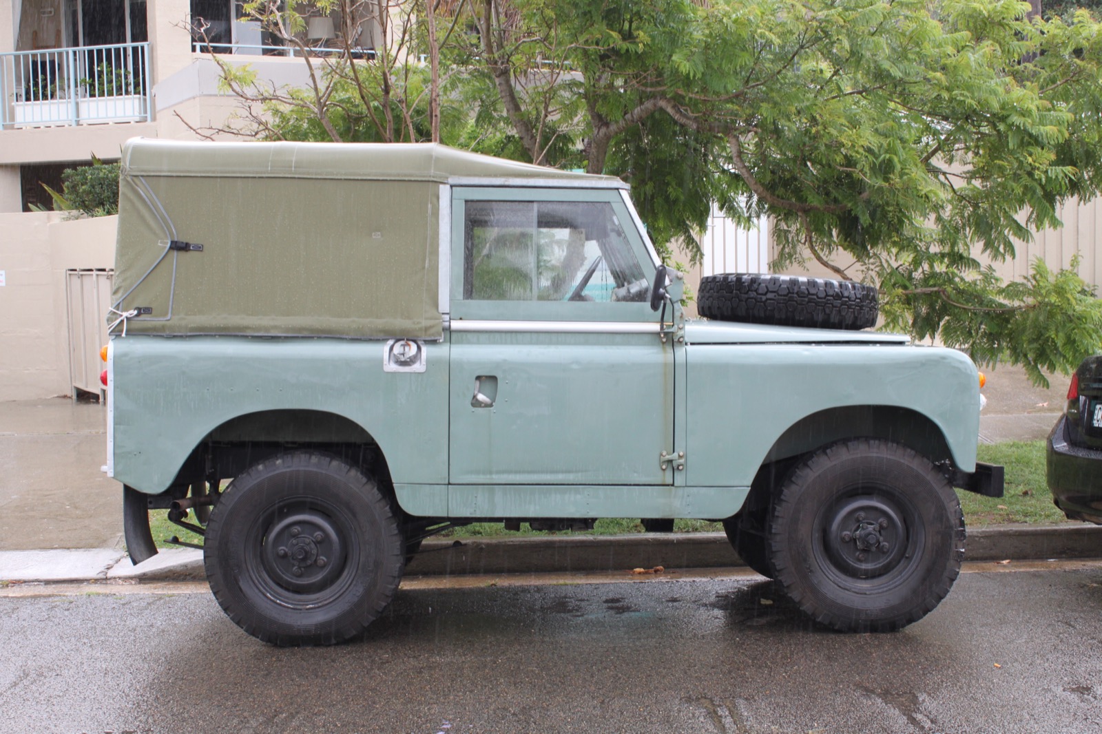
David Chudleigh, a University of New South Wales surveying graduate working for the Department of the Interior's Survey Section on gravity traverses in Queensland, the Northern Territory and Western Australia, planned the trip as a private holiday. Four-wheel-drives in sand-ridge country returned about 6 mpg, the route scaled 1,000 miles, so each vehicle needed about 200 gallons. A quick run from Canberra by Alice Springs and the Tanami let him take a drum 200 miles down the route to Well 48 from the Halls Creek end; the Woomera native patrol officer Bob Verburgt put fuel at Well 35, and became bogged for seven weeks in an unusually wet season doing it; another drum went to Well 24 by Balfour Downs. The party was Chudleigh, fellow surveyor R. (Rus) Wenholz of Queanbeyan, and N. (Noel) Kealley of Perth, who took his long-service leave for the trip. The vehicles were short-wheelbase Land Rovers on 7.50 x 16 highway-tread tyres with extra fuel and water tanks; a two-way radio was hired in Perth and the Royal Flying Doctor base at Port Hedland covered emergencies. Food was salted meat and damper to save the weight of tins, and a Wild T2 theodolite went along for astrofixes, 'more from the hobby point of view than anything else'.
They camped ten miles north of Wiluna on the night of 10 July 1968. The wet season made Lake Nabberu a slow crossing, one man walking ahead testing the ground with his heel and a shovel while one vehicle waited for the other, and they had to scrub-bash through mulga with only the map to find Well 4A on Kennedy Creek. From Windich Spring a bush track ran to Well 9 at Weld Spring, where Forrest's 1874 stone fort still stood; Henry Ward of Glen Ayle, the last station until Billiluna, supplied their salted meat. North of Well 9 every well was found, by transferring its likely position from the map to the aerial photographs, counting ridges, and searching with binoculars from the roof of a Land Rover for a whip pole above the cajaput. At Well 17 in the Durba Hills they found Canning's 1906 cairn, the cascades of Biella Spring and the drovers' roll of honour scratched on the gorge at Durba Spring. Looking for Well 26 the map's sand-ridge gap could not be found; an evening's Rimington star fix put them three miles north-west of the well, and next morning they drove to it. Twenty miles east of Well 27 a morning's walking found Separation Well, where the Calvert Expedition had split in 1896 before two of its men died; digging six feet down reached the old hole in the limestone, which made five feet of water overnight, and their fix agreed with Wells's 1896 latitude to five seconds. At Well 37, the drovers' 'haunted well', lay the graves of Shoesmith and Thomson, killed in 1909, and at Well 40 Michael Tobin's marble cross, sheathed in galvanised iron. From Guli Tank, Well 42, they detoured 50 miles east to Carnegie's Helena Spring of 1896, dug it out and found a tin pannikin at the bottom. At Well 48 they walked to Godfreys Tank and Breadon Pool on the South Esk Tablelands, where Carnegie's 'C 96' and Canning's 'C 23' were cut in the rock. Frank Welsch of Yarrie Station made a supply run to Well 33 along the WAPET road, through the flooded Lake Auld, alone and without a radio.
Thirty-four days after leaving Wiluna they reached Halls Creek, having driven 1,600 miles (2,575 km), the extra mileage from detours to rock holes and from running out bad ridges to find a crossing. Both Land Rovers performed well: about 6 mpg in the worst going, broken springs the only repairs, and radiators that clogged with spinifex husks despite double covers and had to be pricked clean and blown through daily with a spark-plug pump. Forty miles was a good day; with the front wheels nearly over a ridge and the motor dying, a push from the other two often saved the long roll back. Chudleigh's account, 'Retracing the Canning Stock Route and Other Early Explorers' Routes in Central Western Australia', appeared in The Australian Surveyor in December 1969. The Wikipedia history of the route records theirs as the first drive of its entire length; the route did not become a regular four-wheel-drive journey until the mid-1970s.
.jpg)

